
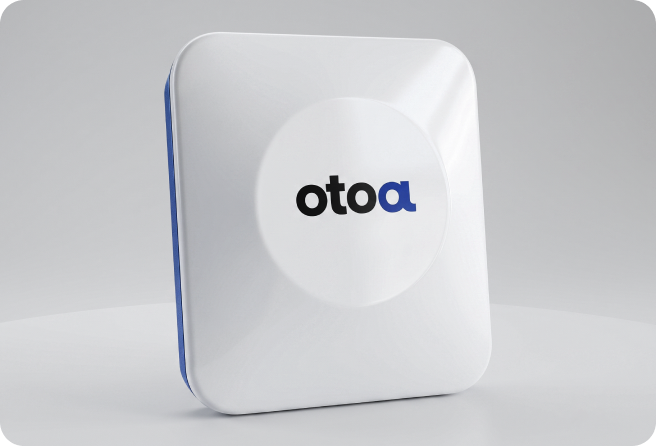
RTK-INS precision localization
RTK-GNSS and inertial sensors are fused to estimate position, attitude, and direction at centimeter level while maintaining continuity as satellite reception changes.
Technology
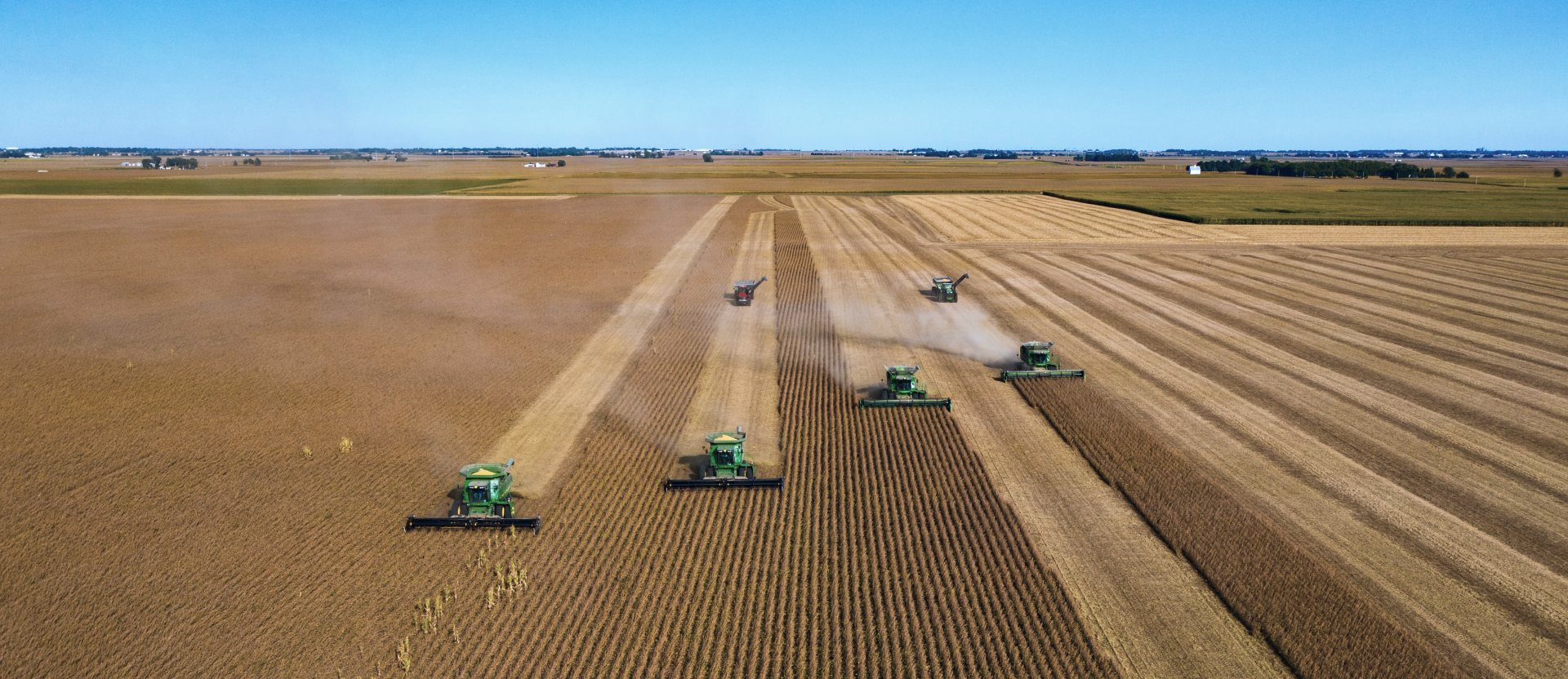
We combine high-precision positioning, path control, and machine-specific interfaces so vehicles and equipment can follow planned routes accurately and execute work reliably.
RTK-GNSS and inertial sensors are fused to estimate position, attitude, and direction at centimeter level while maintaining continuity as satellite reception changes.
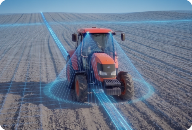
Routes are generated from work areas, traversable regions, and the operating characteristics of each vehicle and implement.
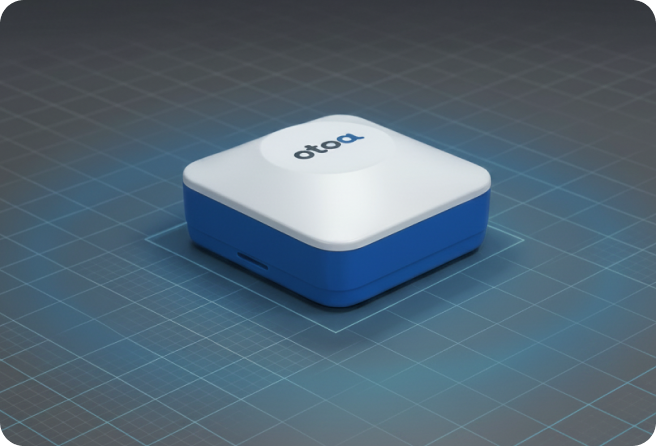
Steering and autonomy-mode switching are supported by default, with speed, stop, and implement control extended where compatible.
RTK-GNSS, inertial sensing, vehicle-state data, cameras, and LiDAR complement one another to continuously estimate vehicle motion and perceive the environment.
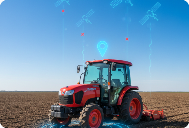
When satellite signals weaken, visual and LiDAR odometry estimate relative motion to maintain continuity.
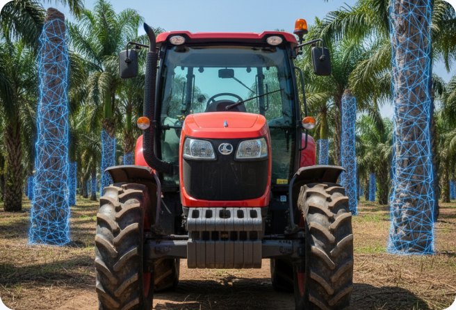
Cameras and LiDAR identify traversable space, obstacles, terrain changes, and work targets.
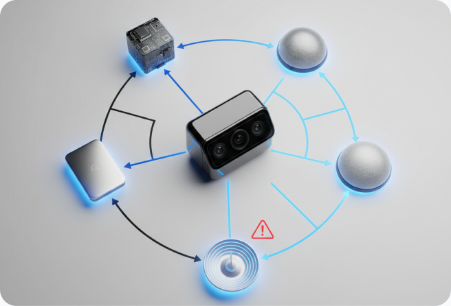
When a sensor becomes unreliable or produces outliers, trusted inputs receive greater weight to preserve localization and perception continuity.
Camera, LiDAR, and vehicle data are processed on the machine so driving and work decisions do not depend on a cloud connection.
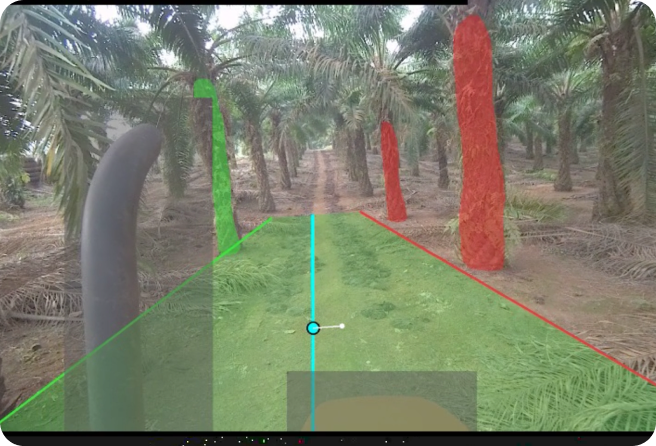
Video and sensor data are analyzed on site to identify obstacles, environmental changes, and vehicle state in real time.
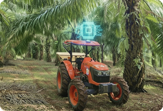
Core autonomy and machine-control functions remain available when the network is unstable or disconnected.
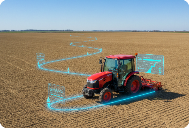
Vehicle routes, work status, and execution results are recorded together with location data.
